We are ready to start!
A special pleasure in the processing of hazard zone plans is the intensive getting-to-know of the river landscapes. And it makes no difference whether you already know the area well or not, there is always something new to discover. And after work is done, you literally know every stone in the river by name … or, lets say: at least you know where the most beautiful places (gravel banks, nice swimming areas, etc.) are located.
We are extremely pleased that we are currently allowed to work on 3 different rivers in 3 federal states. Each river also has different properties that make it special and interesting.
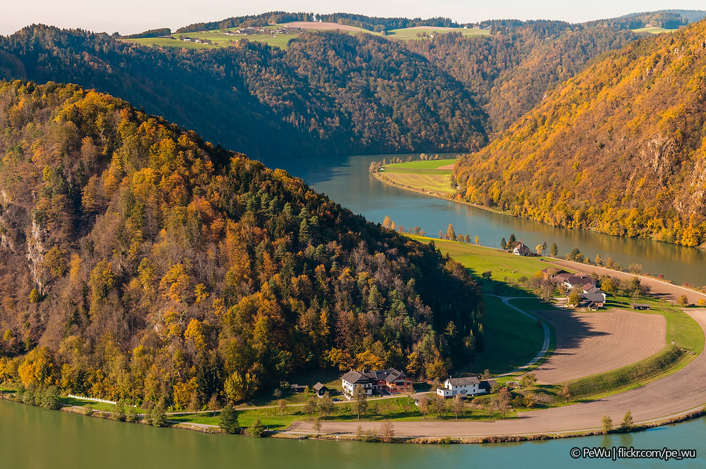
The Danube – is the largest river in Austria. We are working on the first section in Austria in the area of the beautiful Schlögener Schlinge in Upper Austria. Two Danube power plants are to be taken into account in the discharge model.
The Lafnitz in the Styrian upper reach – has beautiful natural river landscapes especially in the region near the Burgenland border.
The Schwechat (upper reach) – has also very natural river reaches, but in the lowest section of our processing region, in the city of Baden (Lower Austria), it’s heavily regulated.
We are currently creating the discharge models for all three rivers and preparing initial simulations.
Photo: “Schlögener Schlinge” by Pe_Wu is licensed under CC BY-NC-ND 2.0