Flood protection

Background
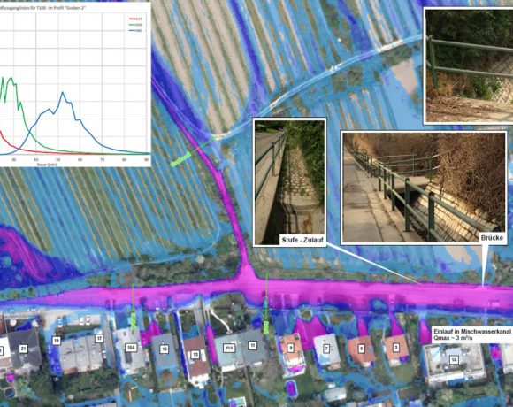
There are many possibilities to reduce flood risk. The best possibility is to avoid risks before flood even happens. This is possible if communities receive danger zone maps. With these maps, governing mayors are able to control settlement development. However, the pressure of using it is very high in the river valleys, and many mistakes have already been made. We can protect settlements and infrastructure at places with higher endagerment by creating technical constructions. Earth dams, for example, keep floods away and direct them into areas where they cannot cause much harm. Or the flood can be saved in a basin thus be held back.
Challenges
The danger zone maps are highly appreciated by the communities. “We have never had such a basis” is what they say. However, they come along with conflicts: because of the new calculation, local areas get identified which have not been known as endangered. It gets more and more difficult to receive the ground area for the technical constructions. Communication with the owners is decisive. The intense use and development along the rivers complicate the technical solutions.
Competence
What makes RIOCOM special are our comprehensive solutions: the technical planning of the constructions is completed by organizational operating documents, since plants can only work safely if they are maintained well. We create these documents together with the operator. For the staff, we organize trainings. Great emphasis is put on communication.
Reference projects
Contracting Purchaser
- Communities and associations in the area of Lower Austria, department hydraulic engineering, regional office Weinviertel
- Machland Damm Gesellschaft, Perg, Upper Austria
- Regional Government of Styria, Dpt. A14 water management, resources and sustainability
- Communities in the area of Upper Austria, water district Braunau


