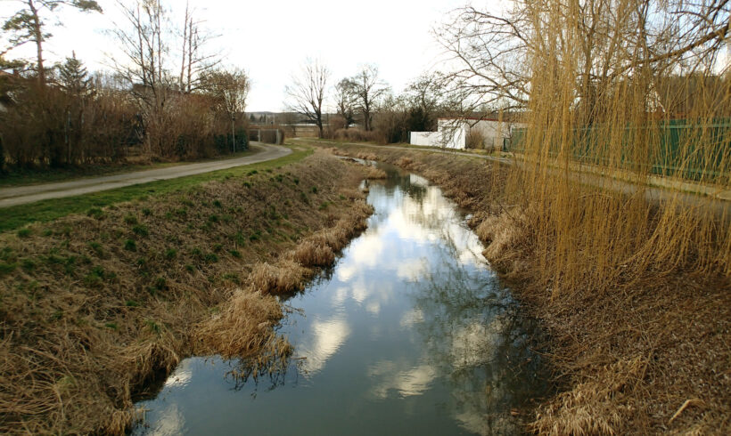
First use of VISDOM in a hazard zone planning project
Fortunately, the RIOCOM team loves challenges, because this project in the Weinviertel has some of them up its sleeve. In addition to the long riverlength, which has to be surveyed and implemented in a hydraulic model, a large rainfall-runoff model must also be created. The hydrological basis should be derived from this. RIOCOM uses the VISDOM software for this.
VISDOM is an integrated rainfall-runoff and 1D/2D hydrodynamic model. A raster terrain model is used as the computing interface. Thanks to the hydrodynamic coupling, retention processes in the river can be optimally taken into account. This fact and the simultaneous creation of floodplains represent a significant advantage over conventional rainfall-runoff models. The final hazard zones are created using the hydrodynamic 2D model Hydro_as-2d.


