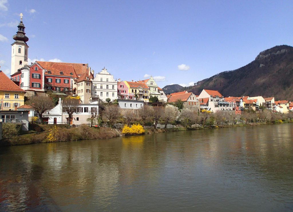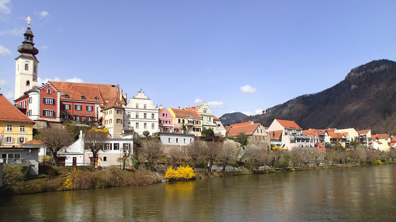
On behalf of the Styrian government, flood discharge studies on rivers are regularly carried out. In the area of the middle Mur, the last studie in which floodplains have been published, was carried out in 1998 and 2001.
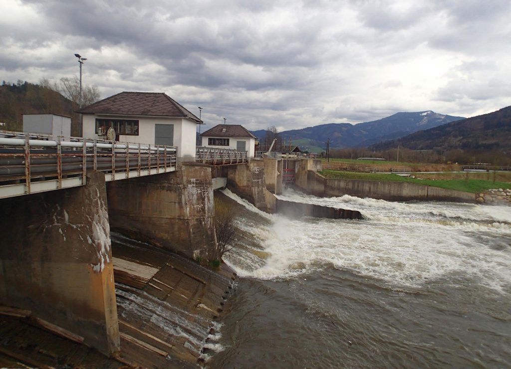
At first, the 48 km riverreach of the Mur will be surveyed terrestrially. After that, a 3-dimensional digital terrain model is created. In this terrain model the flood simulations are performed and the results are prepared to reprsent them in graphic maps. The results are used to show the danger of flooding and also for the flood-safe development of settlement areas.
RIOCOM created a digital terrain model in hydro_as-2d. Afterwards, RIOCOM performed 2D hydraulic flood discharge simulations. The results were used to define the hazard zones. The final results were presented to the communities.
Competence Area
Flood Protection
Services
River Surveying, Creation of a digital terrain model , 2D hydraulic flood discharge modeling, runoff modeling, hazard zone planning
Contracting Purchaser
Office of Styrian Government – Department A14
In collaboration with
Geodesist DI Wolfgang Höppl, Graz
Location
7 communities in Styria located along the Mur River: Proleb, Niklasdorf, Bruck an der Mur, Pernegg, Frohnleiten, Peggau, Deutschfeistritz
Period
February 2018 until June 2019