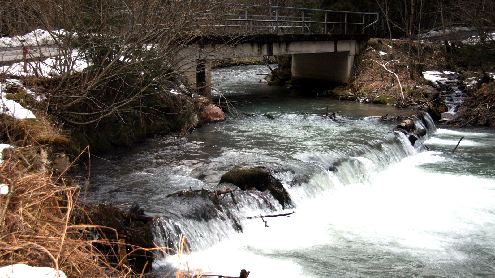
The main objective of the runoff examination was the depiction of the current state in four examination areas in the east of Upper Styria regarding the flood danger.
With the terrain data captured during scan flights and current measurement data of the river channel provided by the Regional Government of Styria, a digital elevation model was created. By adding additional boundary conditions and discharge values, the elevation model was transformed into a runoff model. The flooding areas were defined through two dimensional hydraulic calculations.
RIOCOM created a 2D runoff model for every part of the river and simulated flood hazards in 30-, 100- and 300- year intervals of probability of occurrence. The results: flooding areas, water depths, flow velocities and hazard zones were depicted on a map. In addition, a preliminary concept of measures for the protection of the settlement area was prepared.
Competence Area
Flood Protection
Services
2D runoff modeling, planning of the hazard zone
Contracting Purchaser
Regional Government of Styria – Department A14
In collaboration with
District management for construction Upper Styria East
Geodesist DI Wolfgang Hoeppl, Graz
Location
District: Bruck an der Mur
Water: Froeschnitzbach, Salza, Stuebmingbach, Seebach
Communities: Spital am Semmering, Muerzzuschlag, Mariazell, Turnau, Aflenz, Thoerl
Period
2015 to 2016


